Sunday, October 2, 2011

Papago Park, Phoenix Arizona


For those who would like to enjoy Arizona's desert without having to drive far or do much hiking Papago Park is a great opportunity. Papago Park is literally no more than 15 mins away from Sky Harbor airport near the borders of Tempe, Phoenix and Scottsdale. The entire park is only 1200 arces and can be hiked through in a few hours. The park attracts many tourist each year because of it's distinctive rock formations, desert plants and wildlife. It is not rare to come across Chuckwalla lizards, Rattlesnakes, Jack Rabbits, coyotes, and desert owls.

GPS Coordinates: 33° 27′ 18.05″ N, 111° 56′ 53.15″ W

Rating: 6 out of 10

Difficulty: Easy


Wednesday, December 29, 2010

Mount Humphreys Peak, Flagstaff Arizona

Mushrooms all over the mountain during summer time.

Awwww. Doesn't that picture just entice you to do the hike?


A tree.


A flower.


A Brad.

The last mile to the summit. Brad is mocking my pain.


I'm not as excited.


This is where we leave the timber line.

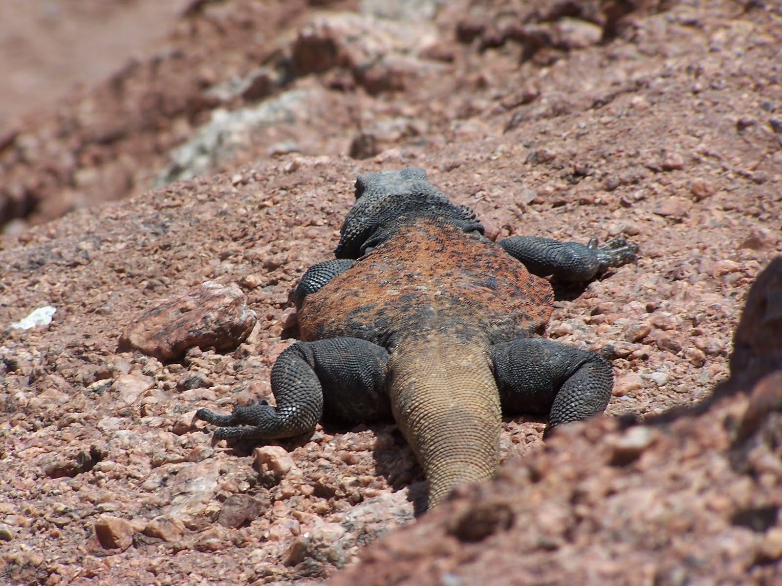
He's not as friendly as he looks, trust me.

The Grand Canyon is in the distance if ya look real close.

The summit!!!!!!!!!!!!!!!!!!!!


For those of you who are looking for a relatively challenging hike, this is a good one. Mount Humphreys Peak is the highest evelvation in Arizona at 12,633 feet. The total hike is about 9 miles round trip with the last mile and a half above the timber line and very rocky. There was even snow still on the ground in Aug. We were told to head back if we saw any storms coming in but we were blessed with perfect weather in the 70's F. Going from Mesa's elevation, which is 1,241 ft, to 12,633 in a about 8 hours does crazy things to your body. I experienced elevation sickness for the first time in my life. Some symptoms I experienced were: nausea, fatigue, dizziness, light headed, shortness of breath and a bad head ache. These symptoms only last about three days but it was well worth the beautiful hike. I would recommend to those who might want to climb it to stay in Flagstaff for at least a day before you hike Humphrey's Peak so you body can adjust to the elevation first. And beware of the cute squirrels, one bit me on the hand.

GPS Coordinates: 35.451721,-111.774902

Rating: 9 out of 10

Difficulty: Strenuous


Reavis Ranch, Arizona

Trail-head with Apache Lake in background.
World renowned explorers Mike and Rebecca.

Slow pokes.


Brad could not wait for lunch so he decided to eat some 500 year old pottery.

Indian ruins.

Exploring the pet cemetery.


The Gang.

Lessons on how not to drive.

Reavis Ranch is a great Superstition Mountain hike. The entire trail is about 12 miles long but I have only hiked about half of that. Roughly 5 miles into the hike there will be a taller hill than the rest where you can find some old Indian ruins. There are still pieces of clay pots scattered around the ground and rock structures. The ruins are not visible from the trail path so it may take some time to find it.

Directions to Trail head:

From junction of US 60 and SR 79 go E 2 miles to Queen Valley Road. Go N to FR 357 and then N on 357 to FR 172. Follow FR 172 to its end (9 miles).


GPS Coordinates: N33° 32'45.9" W111° 11'27.1"

Difficulty: Moderate


Sunday, December 26, 2010

Kaʻena Point, Oahu Hawaii


The first hike I want to share is one of my favorite hikes on the island of O'ahu Hawaii. Kaʻena Point Stake Park is located on the West side of O’ahu past Makaha. (Basically you just take Farrington Hwy as far as it will go west) Unfortunately, I only have two low quality pictures of the hike. Word of caution, don’t do the hike after a major rain storm. The night before our hike it rained about 3 inches and the entire hike was covered in large rain puddles. Another friendly warning, the area is known to have a lot of car theft so make sure not to leave any valuables in the car. The reward at the end of the trail is a Laysan Albatross preserve. Best season for the hike is winter which will increase your chances of seeing whales breaching off the coast.


GPS Coordinates: 21.556182,-158.248615

Rating: 8 out of 10

Difficulty: medium

Purpose of this Blog

1. Provide a website for my to access my hiking pictures when I'm bored at work.
2. Share the beauty of this world with those who share a love for the outdoors.
3. Backup just in case my computer ever crashes.
4. Motivation to get my butt off the couch and do more hikes.